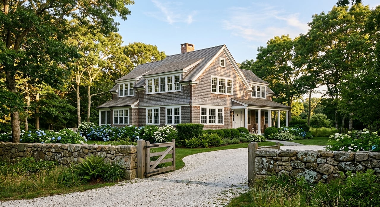
A beautiful field and a promising map can make a Tiverton parcel feel simple. In reality, buying land or a small farm here often requires more investigation than buyers expect. If you are hoping to build, steward open acreage, or create a working farmstead, the right early questions can save you time, money, and frustration. Let’s dive in.
Why Tiverton land needs careful review
Tiverton’s rural character is a major part of its appeal. The town’s planning and preservation framework places real value on farmland, open space, scenic resources, and long-term stewardship. That makes land ownership here rewarding, but it also means your plans need to fit the parcel and the town’s rules.
A parcel that looks generous on paper may still be limited by wetlands, steep slopes, floodplain conditions, soil constraints, overlays, or utility access. Tiverton’s GIS system is an excellent first step because it shows zoning, topography, soils, wetlands, and land use layers. The town also notes that GIS is only a snapshot, so important details should always be verified with the appropriate local department.
Start with zoning and overlays
Before you assume a lot is buildable, confirm the base zoning district and any overlay districts that apply. Tiverton directs buyers to its zoning ordinance and GIS zoning map, and the Code Enforcement office handles zoning certificates while guiding applicants through variances, special-use permits, and appeals.
That matters because even a straightforward purchase can become a board-driven process if the proposed use, frontage, lot dimensions, or site conditions do not match the ordinance cleanly. Tiverton’s Planning Board also has an active role in land use, subdivision regulations, and physical development, and agenda requests must be submitted at least 21 days before the meeting where you want to appear.
Not all acreage counts the same
One of the biggest surprises for land buyers is that total acreage does not always equal usable acreage. Tiverton’s subdivision regulations exclude certain “unsuitable land” from density calculations. Examples include wetlands, the 100-foot wetland buffer, stormwater drainage components, and steep slope areas.
In practical terms, a parcel can be legally large while offering a much smaller envelope for a house site, driveway, barn, pasture area, or future subdivision potential. The town’s regulations also state that land found unhealthful for residential use may be rejected after consultation with state agencies. That is why early parcel analysis is so important.
Watershed and conservation overlays matter
Some Tiverton parcels fall within overlay districts that can significantly shape what is possible. The zoning text identifies an Open Space/Conservation district for land protected for natural undeveloped conditions, passive recreation, habitat, or agricultural uses. The town also has a Watershed Protection Overlay District that affects the Stafford and Nonquit Pond watersheds.
This is especially important because Stafford Pond is identified in the town’s comprehensive plan as a primary source of Tiverton’s drinking water supply. The posted watershed overlay text states that residential density is tightly limited in these areas. In some watershed areas, single-family density is limited to no greater than one unit per three acres, while in the secondary Nonquit area it is limited to no greater than one unit per 100,000 square feet.
If an overlay boundary is unclear, the zoning text places the burden of proof on the landowner. The town may use a hydrogeologist or soil scientist to help establish the line. For buyers, that means uncertainty itself can become part of the due diligence process.
Utilities are never a safe assumption
With vacant land and small farm parcels, utility questions should be answered early. In Tiverton, water, sewer, and related service issues are parcel-specific. You should not assume a property has public water, municipal sewer, or even the same fire district setup as a neighboring parcel.
The town notes that water and fire district taxes are handled by two private water companies, North Tiverton Water District and Stone Bridge Water District. The town’s Wastewater Management page also explains that the Tiverton Wastewater District handles municipal sewer issues only, while questions about onsite wastewater treatment systems go to the Town Administrator.
Septic feasibility comes first
For many land purchases, septic feasibility is one of the first major checkpoints. Rhode Island DEM administers the Onsite Wastewater Treatment System program and describes soil evaluation as the foundation for septic siting and design.
That is especially relevant in Tiverton, where the comprehensive plan notes that soil conditions are poor in many areas and that large areas are unsuitable for many types of development, especially septic systems. Ledge close to the surface can also be an obstacle. If you are considering a vacant lot, a soil evaluation and early septic review can help you avoid buying land that cannot support your intended use.
Soils and topography shape everything
When you buy land in Tiverton, soils and topography are not side notes. They influence whether the property can support a home site, driveway, outbuildings, drainage, gardens, or pasture. The town’s comprehensive plan describes ponds, wetlands, marshes, beaches, and floodplain across the coastal plain, and it notes broader soil limitations in many areas.
A helpful first screen is the USDA Web Soil Survey, which provides official soil data and interpretations for land use and management decisions. It can give you an early read on drainage, slope, and agricultural potential before you spend money on site-specific testing. For buyers considering a small farm, this is a practical way to understand whether the land supports productive use or may be constrained from the start.
Wetlands and coastal review can change the picture
Freshwater wetlands are a major consideration in Tiverton. Rhode Island DEM regulates wetlands because they help reduce flood and storm damage, protect water quality, and provide habitat. If a project is proposed within or sometimes near jurisdictional areas, a permit may be required.
That means a lot line on a map does not tell the full story. A parcel may have wetland files, edge-verification history, or permit implications that should be reviewed before you finalize a purchase.
Coastal parcels need CRMC review
If the parcel is on or near the coast, you may also need to consider Rhode Island CRMC jurisdiction. CRMC states that it manages activities on and near the coast, and its FAQ explains that jurisdiction extends within 200 feet of any coastal feature.
CRMC also states that septic installation, repair, modification, or replacement within its jurisdiction requires review. For waterfront lots, marsh-edge land, and low-lying coastal parcels, this extra layer of review can affect both timeline and design.
Floodplain status affects cost and planning
Flood review should be part of your early screening process, especially for low-lying or coastal sites. Tiverton’s Code Enforcement department is responsible for floodplain administration, and the town’s floodplain page points buyers to FEMA flood-hazard resources.
Floodplain status can influence insurability, site design, and the cost of making a lot usable. Even if a parcel feels appealing because of location or water proximity, flood conditions may affect how and where improvements can happen.
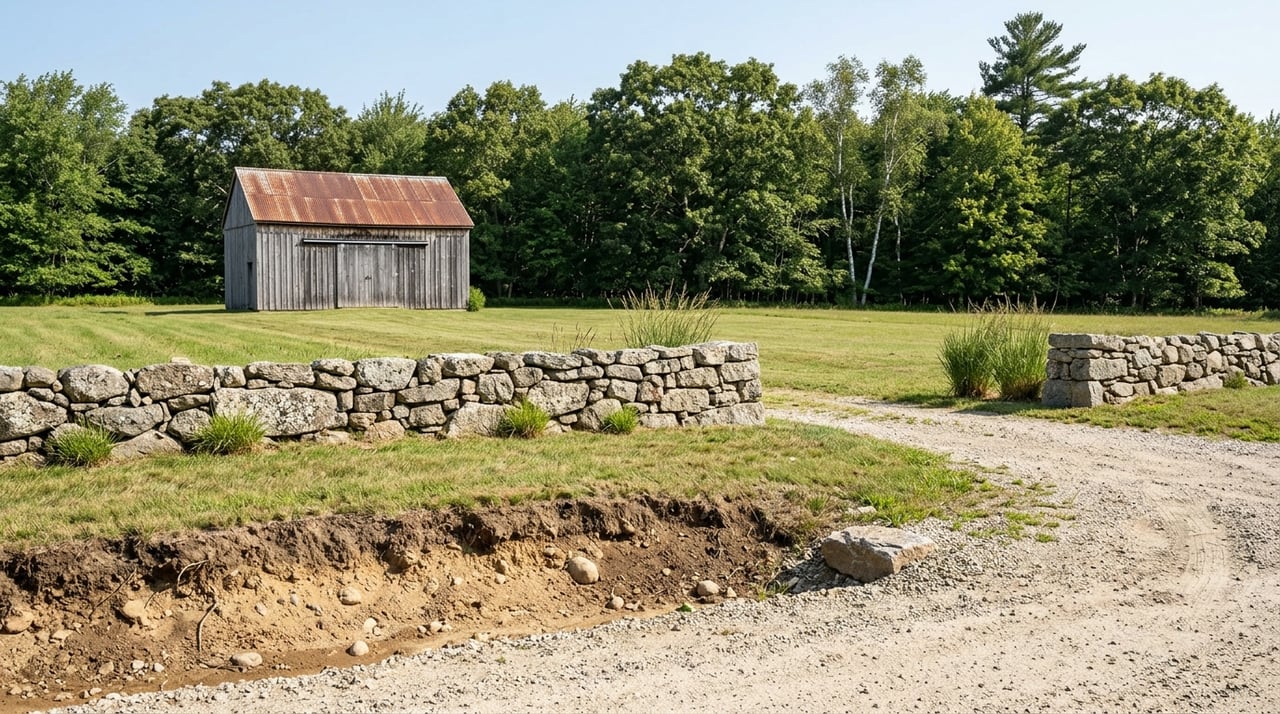
Small farm buyers should think about stewardship too
Buying a small farm in Tiverton is often about more than the initial purchase. You may be thinking about gardens, fields, small-scale agricultural use, outbuildings, or simply preserving open land over time. In Tiverton, those goals fit into a broader local culture of preservation and farm continuity.
The town’s Open Space and Land Preservation Commission encourages farm preservation and helps identify and protect natural and scenic resources. If long-term stewardship is part of your plan, it is worth asking early how the parcel fits into that broader context.
FFOS may be worth exploring
Tiverton also explains that qualifying landowners may obtain reduced assessments through the Farm, Forest & Open Space program. Farm applications go through DEM, while open-space applications go through the Tax Assessor. The town notes acreage minimums that are generally 5 acres for farms and 10 acres for forest or open space classifications.
This does not mean every parcel will qualify, but it is a useful topic to raise early if your goals include active agricultural use or preservation-minded ownership. It can be one more part of understanding the true long-term profile of a property.
A smart due diligence path
If you are considering buying land or a small farm in Tiverton, a thoughtful sequence can help you move forward with more confidence.
- Review the parcel in Tiverton GIS for zoning, overlays, wetlands, topography, soils, and land use.
- Verify key details with town staff because GIS information may not reflect the most current business record.
- Confirm base zoning, frontage, access, easements, and whether any variance, special-use permit, or subdivision review may be needed.
- Check whether the parcel is in the Open Space/Conservation district, the Watershed Protection Overlay District, a floodplain, or CRMC coastal jurisdiction.
- Use USDA Web Soil Survey as a first-pass screen for drainage, slope, and agricultural potential.
- Order soil and onsite wastewater evaluation early if buildability is part of your plan.
- Verify water and sewer status directly with the relevant district or town contact.
- If wetlands or coastal review may apply, identify that before you complete the purchase.
- Ask about FFOS eligibility if farm use, forest land, or open-space stewardship is part of your long-term plan.
Expect the process to take time
One of the most helpful mindset shifts is to treat Tiverton land due diligence as a process that takes weeks, not days. If a parcel has wetlands, septic uncertainty, access questions, floodplain issues, or a need for zoning relief, the timeline can extend to months.
That is not necessarily a red flag. It is simply part of buying carefully in a market where land, water, and stewardship are closely connected. The goal is not just to buy acreage, but to understand what the land can realistically support now and over time.
When you approach a Tiverton land or small farm purchase with patience and the right local guidance, you are far more likely to end up with a property that matches your vision. If you are exploring a parcel and want a clear, discreet strategy for evaluating its potential, Cherry Arnold can help you navigate the process with care.
FAQs
What should you check first when buying land in Tiverton?
- Start with Tiverton GIS to review zoning, overlays, wetlands, topography, soils, and land use, then verify important details with town staff because the GIS is only a snapshot.
Can a large parcel in Tiverton still be hard to build on?
- Yes. Tiverton excludes certain unsuitable land from density calculations, including wetlands, wetland buffers, steep slopes, and some drainage areas, so total acreage may not equal buildable area.
Do Tiverton land buyers need to confirm septic feasibility early?
- Yes. Rhode Island DEM states that soil evaluation is the foundation for onsite wastewater system siting and design, and Tiverton’s planning documents note that many local soils are challenging for septic systems.
Are all Tiverton parcels served by public water and sewer?
- No. Water, sewer, and fire district arrangements are parcel-specific in Tiverton, so you should verify service directly with the relevant districts and town contacts.
Why do watershed overlays matter when buying land in Tiverton?
- Watershed overlays can limit residential density and may require extra review, especially near Stafford Pond and Nonquit Pond watershed areas.
When does coastal review apply to Tiverton land?
- If a parcel is on or near a coastal feature, CRMC review may apply because the agency states that its jurisdiction extends within 200 feet of coastal features, including certain septic-related work.
Is the Farm, Forest & Open Space program relevant for Tiverton small farms?
- It can be. Tiverton states that qualifying landowners may receive reduced assessments through FFOS, with farm applications generally involving a 5-acre minimum and forest or open-space classifications generally involving 10 acres.